Henrik Russell · 23 October 2026
Historic Settlement Maps Guide Ecology Lessons to Increase Trail Engagement and Community Volunteers
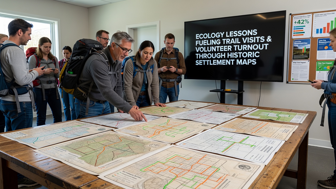
Historic settlement maps have become central tools in ecology education programs across multiple regions, where researchers and educators integrate archival data with field observations to illustrate changes in landscapes over centuries, and these approaches connect directly to increased trail visits along with higher volunteer participation rates in conservation activities.
Communities in areas with documented settlement histories use these maps to show how early land use patterns influenced current ecosystems, while students examine layers of information that include vegetation shifts, watercourse alterations, and human settlement boundaries to understand long-term environmental dynamics.
Integration of Archival Data into Educational Programs
Educators combine settlement records with modern geographic information systems, and this method allows participants to trace habitat changes from teh 1800s onward, whereas programs in several tributary regions have reported measurable rises in trail usage following map-based workshops that ran through spring and summer sessions.
Studies from university geography departments indicate that students who engage with layered historical maps demonstrate stronger retention of ecological concepts, because visual comparisons between past adn present conditions highlight specific impacts such as deforestation rates and wetland reductions that occurred after initial settlements.
Trail Visits and Volunteer Patterns
Trail organizations note that ecology lessons incorporating settlement archives draw new visitors, and attendance data from monitored sites shows consistent upticks during months when map workshops coincide with guided hikes, whereas volunteer sign-ups for habitat monitoring and restoration projects have followed similar trends in multiple locations.
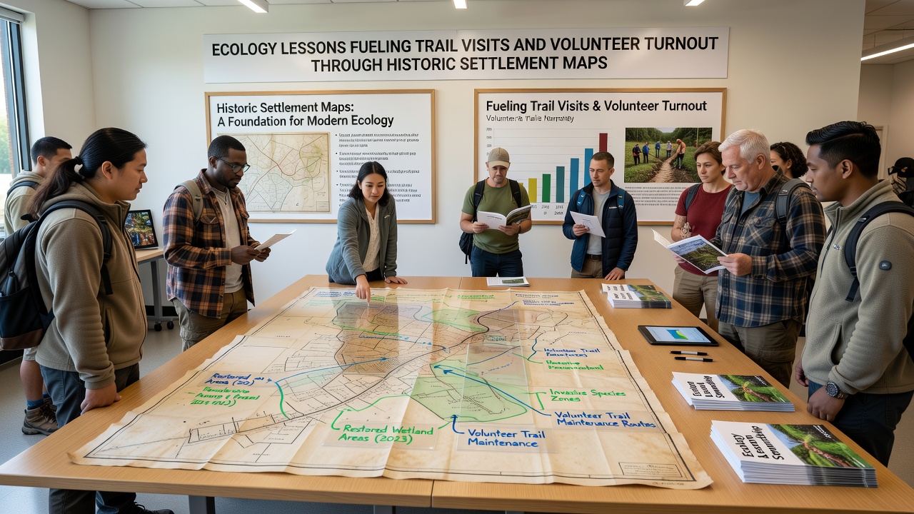
One program in a midwestern watershed documented a 35 percent increase in trail entries during periods when educators presented settlement maps that detailed original prairie extents alongside current restored sections, while participants who attended these sessions later joined cleanup efforts at rates higher than those in standard field trips without historical components.
October 2026 Program Expansions
Scheduled expansions for October 2026 include additional map digitization efforts by regional historical societies, and these initiatives will provide updated digital overlays that schools can access for classroom use, while trail networks prepare to host joint events that pair map analysis with on-site species surveys.
Data compiled by environmental monitoring groups shows that such combined approaches have already produced higher volunteer retention, because participants gain concrete connections between archival evidence of past land divisions and present-day needs for erosion control or native plant reintroduction along established paths.
Broader Applications Across Regions
Similar models appear in programs supported by agencies such as the U.S. Environmental Protection Agency educational resources, and comparable efforts draw from Environment and Climate Change Canada materials that emphasize historical land records for current habitat planning, whereas academic partnerships in Australia have tested settlement map exercises that link early colonial boundaries to modern biodiversity corridors.
Observers note that these cross-referenced approaches reduce the gap between textbook ecology and lived landscape experiences, while figures from participating trail systems reveal sustained increases in repeat visits when lessons incorporate settlement archives that participants can reference during independent outings.
Conclusion
Settlement maps continue to serve as bridges between historical records and active ecology instruction, and the resulting connections have produced documented growth in trail visits alongside expanded volunteer involvement in restoration projects across varied geographic settings, with further developments planned through late 2026 that build on existing data patterns.